


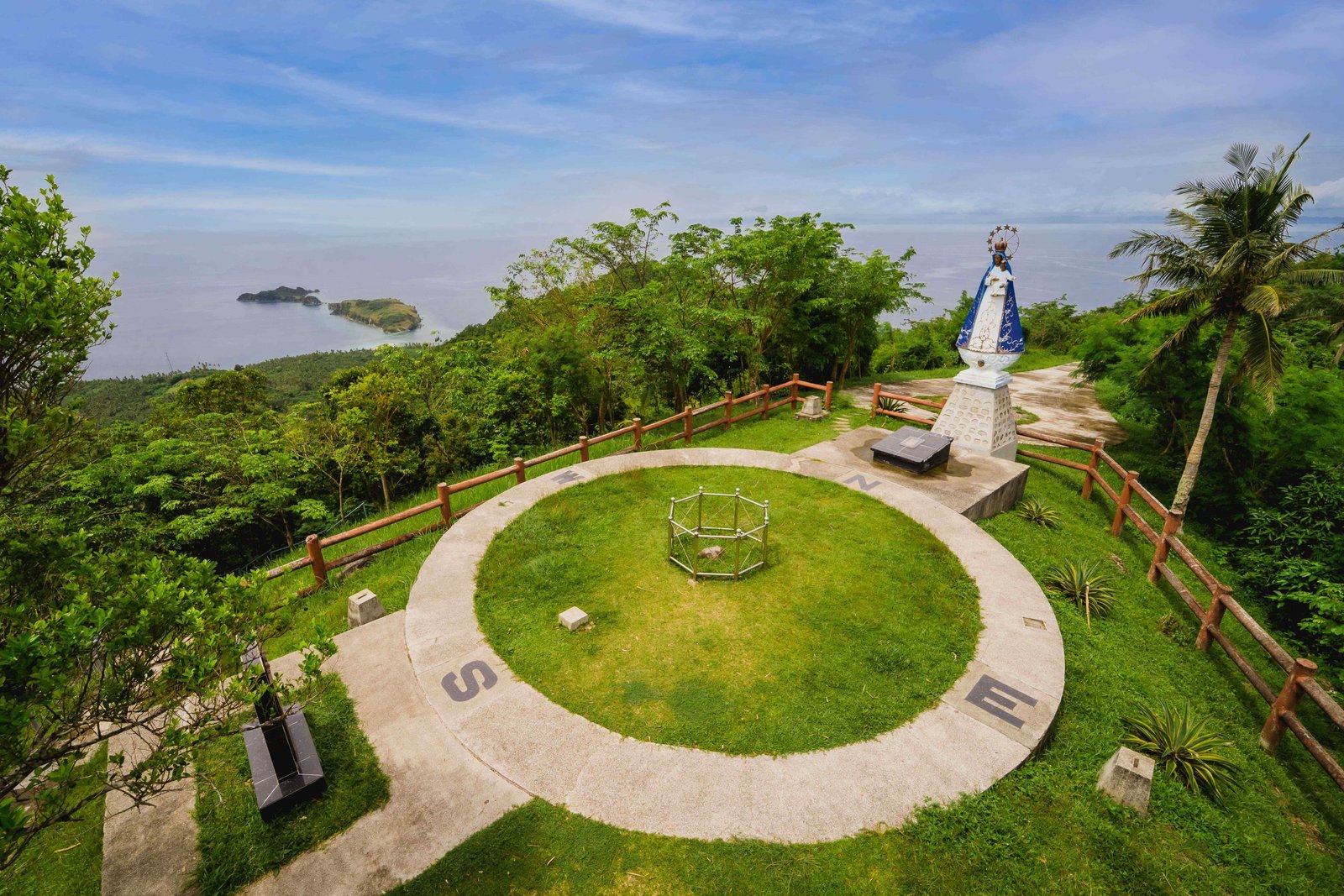
Luzon Datum OF 1911 is a piece of stone marker is located on top of a hill that locals call Mataas na Bundok or Mt. Mataas in Barangay Hinanggayon, town of Mogpog. Also known as Station Balanacan. This rock marker was established in 1911 by the US Coast and Geodetic Survey as the Geodetic Center of the country. The hole drilled inside an etched triangle in cubic meters of diorite rock outcrop at the top of the highest hill (272.42 MASL) in Brgy. Hinanggayon. The provincial government of Marinduque, DENR, NHCP, NAMRIA developed the area and was inaugurated on its centennial year in 2011. It is located with an almost 360 wide ranging view of Tayabas Bay, Mompong Pass and Tablas Strait. Managed and maintained by the local folks under the management of the provincial Government and a Community-Based EcoTourism Program. A visitor’s center is now under construction near the end of the regular access road to cater to the needs of numerous guests and tourists.
Luzon Datum of 1911
Marinduque / 10 January, 2023